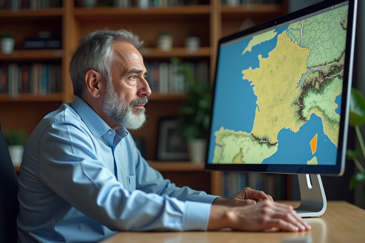
The Géoportail is the public reference platform for accessing geographic data produced by the IGN and other French public organizations. It allows users to overlay map layers (cadastre, aerial photographs, topographic maps) on the same viewer, without needing to install any software. Starting in 2024, the migration to Cartes.gouv.fr will gradually restructure this ecosystem, with direct consequences on the available functionalities and user data management.
Data Layers and Overlay: the Central Mechanism of the Géoportail
The principle of the Géoportail is based on a stacking of queryable geographic data layers independently. Each layer corresponds to a thematic dataset: cadastral parcels, orthophotographs, IGN maps, natural risk zones, urban planning documents.
The user can activate or deactivate these layers via a sidebar and adjust their opacity. For example, overlaying the cadastre on a recent aerial photograph allows one to verify the boundaries of a parcel in relation to visible buildings. This function remains the most common use for individuals preparing a real estate purchase or a work declaration.
To delve deeper into the functioning and concrete use cases, a detailed guide on the Geoportail in France usefully complements the official documentation from the IGN.
The data comes from different producers (IGN, BRGM, state services, local authorities). Each layer has its own update frequency. Aerial photographs are renewed by department according to a multi-year cycle, while the cadastre follows the update rhythm of the DGFiP. This heterogeneity explains why two superimposed layers may show a slight temporal offset.

Migration to Cartes.gouv.fr: What Changes for Users
The IGN has initiated the gradual transfer of Géoportail services to Cartes.gouv.fr, its new platform. The goal is to centralize access to public geographic data and integrate additional functionalities, including AI-assisted analysis capabilities announced for January 2026.
Law No. 2025-112 of December 19, 2025, regarding the opening of public geographic data aims to reduce access costs for local authorities. Specifically, datasets previously reserved for professional subscribers will become freely accessible for consultation on Cartes.gouv.fr.
For regular users of the classic Géoportail, the transition involves recreating an account on the new platform. Customized maps and favorites saved on the old portal are not automatically transferred. The official FAQ recommends manually exporting data before the final switch.
Urban Planning Géoportail: A Distinct Platform Not to Be Confused
The Urban Planning Géoportail (GPU) is a separate site from the classic Géoportail. It provides access to enforceable urban planning documents: local urban plans (PLU), municipal maps, public utility easements.
Confusion between the two portals is common. The IGN Géoportail displays cartographic backgrounds and descriptive data of the territory. The GPU, on the other hand, publishes regulatory documents that determine what a property owner can build on a given parcel.
- The IGN Géoportail is used to visualize relief, the cadastre, aerial photographs, and natural risk zones across the entire territory
- The GPU allows consultation of the urban planning regulations applicable to a specific parcel, including the easements that encumber it
- Both platforms use compatible geographic references, but their interfaces and documentation bases are independent
To verify the buildability rules of a plot, the GPU remains the official source. The classic Géoportail provides the geographic context (topography, immediate environment) without regulatory value.
Hiking Routes and GDPR: The Overlooked Question of Privacy on Cartes.gouv.fr
Cartes.gouv.fr allows hikers to record and share routes. This feature generates timestamped geolocation data, directly linked to a user account. However, these GPS traces constitute personal data under the GDPR, as they allow for the reconstruction of the movements of an identified person.
The tutorials available on the platform explain how to create a route, name it, and export it in GPX format. None address the retention period of this data on the server, nor the conditions for potential sharing with third parties.
The question is even more pressing as the French Drone Federation documented in March 2026 the rapid adoption of Cartes.gouv.fr by aeromodelling federations, which use the platform to declare their flight zones. These uses multiply the geolocated traces recorded on public servers.
Points of Caution for Users
- Check in the account settings whether recorded routes are public by default or private
- Manually delete stored routes after local export, due to the lack of a clearly documented automatic purge policy
- Prefer GPX export to a personal device rather than permanent storage on the platform for sensitive routes (home, regularly frequented places)

Professional Uses of the Géoportail: WMS Services and GIS Integration
Beyond public consultation, the Géoportail exposes its data through standardized web services (WMS, WMTS, WFS). These protocols allow professionals to integrate IGN cartographic backgrounds directly into their geographic information system (GIS) software such as QGIS or ArcGIS.
An environmental consulting firm can thus overlay IGN orthophotographs with its own field surveys without leaving its business software. Local authorities use these streams to feed their local cartographic portals, such as those dedicated to regional biodiversity or coastal monitoring.
The Esri France platform documents the integration of geoportals into the ArcGIS ecosystem, confirming that IGN streams remain among the most sought after by French professional users. With the migration to Cartes.gouv.fr, the URLs of web services are gradually evolving, requiring GIS administrators to update their connections.
The Géoportail remains a tool whose richness far exceeds simple map consultation. The transition to Cartes.gouv.fr redistributes functionalities and opens new possibilities, but it also requires users, both individuals and professionals, to remain attentive to interface changes and the management of their personal data.